Practical Exploration Geology IV - Digitisation of Historic Data

The Balkans are a heavily mineralised region with a long history of mining stretching back to Roman mines of the second and third century. Industrial mining starting with the Austrians in the mid-nineteenth century and a number of British companies, including Selection Trust were present up until the outbreak of the Second World War. Prior to the break-up of Yugoslavia a lot of mines and exploration projects were already going out of business and abandoned by their investors.
Over thirty years later Mineco are reviewing these old, abandoned projects to determine if they are economically feasible today – some will be, most probably won’t be. With each new project the first task of the PDT is to collect as much of the historical data as possible. Whilst the field work teams are busy identifying and mapping the historic works, the digitisation team brings together all the paperwork. The drill-hole logs, mine plans, geological maps, resource estimates. Often these are incomplete, sometimes they have been completed by hand.
This information is vital to our ability to quickly understand and review a project. A paper log of a 250m drill hole represents €25,000 of drilling in today’s prices.

The digitisation team collects all the data, scans it all into the electronic libraries (kept in the Cloud so that all staff can access them at any time and from any location). All hard data, the grid reference points, the assay results is entered into the data tables that, once complete, we help our software specialist create a geological model of the prospect.
The next steps is to provide the field teams with the validation requirements. Typically we would look to check 20% of the historical data with modern sampling or survey. If the variances between old and new are too great we will increase the number of checks until the Senior Project Manager is content.
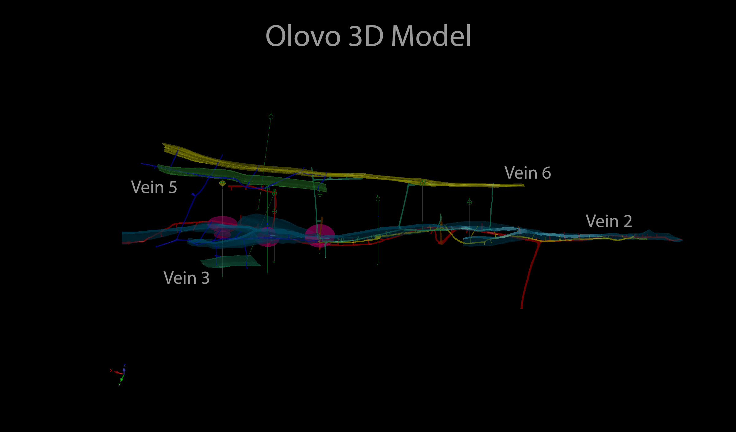
Once the accuracy of the historical has been verified and supplemented by any modern results and survey the digitisation team set about importing all the data from the Excel and Access databases into the modelling software programmes. The resulting 3D models give the exploration a visual representation of the ore body and most importantly allow them to start to interpret the trends that will allow them to plan future exploration and eventually increase the reserves.


